 |
|
|
|
|
|
|
|
|
|
|
|
|
|
|
|
|
|
|
|
|
|
|
 |
|
|
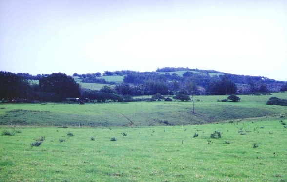
Coming out of Halawa Valley you ascend towards Pu`u o Hoku. This shot is taken in the Moakea district. This area is a fine plain for horse back riding or for walking and is level from the south to the southwest. You will find a lot of cattle here and that most of the inhabitants are animals. |
|
|
|
 |
|
|
|
 |
|
|
|
|
|
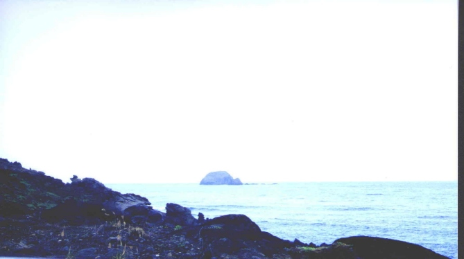
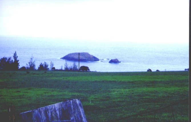
This island we called turtle island since it looked like a turtle if seen from the beach area on the south side of the island but looking towards the southeast. |
|
|
|
If you are heading towards Halawa or coming from there, taking a closer look you will see that turtle island is actually two. The larger is called Moku Ho`oniki. It lies just east of Moakea. On the south side is a cave. On the eastern side of this island was once a secret fishing ground, good for deep sea fishing. Not until the time of the famous Maui chief Kahekili did it became known and today even the unskilled fisherman know where it is. The smaller island is known as Kanaha Rock. |
|
|
|
|
|
 |
|
|
|
 |
|
|
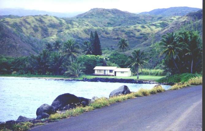
Honouliwai, or "Moist Honouli" is a land where there is much water. |
|
|
|
|
|
|
 |
|
|
 |
|
|
|
|