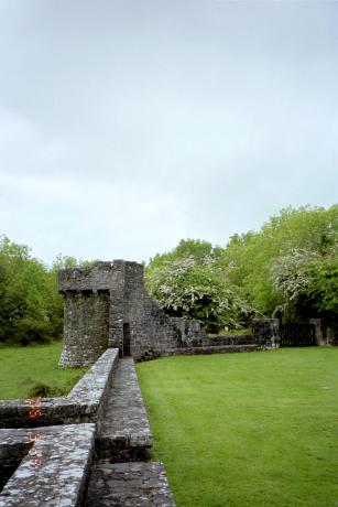
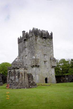
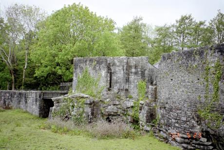
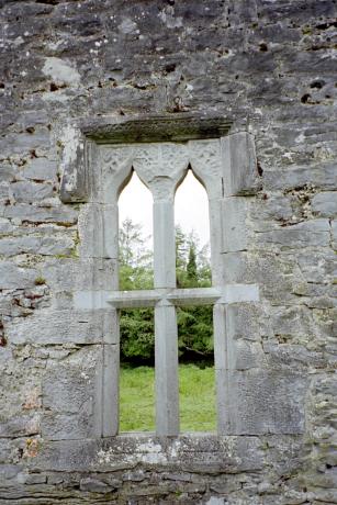
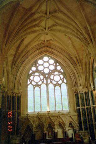
Our first stop when we were driving around County Galway was Aughnanure Castle near Oughterard. The first pictures are mainly of the castle and the last two are of the one remaining wall of the banqueting hall. This castle was restored, so we got to go up almost to the top. It is also a nesting place for bats though we didn't see any while we were there. It actually still has a lot of the walls and guard.. tower things still standing. The banqueting hall is what made me want to see it though. The river that runs around the castle used to also run under the banqueting hall, and there was a trap door in the floor of the hall where they could deposit any unruly visitors. Wouldn't it be nice to have one of those? But a long time ago the hall collapsed over the river, so the river doesn't run there anymore, and only one wall of the banqueting hall still stands.


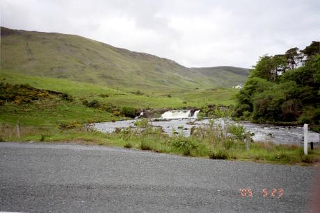
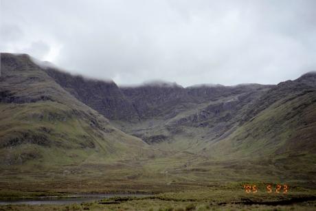
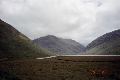
Next we went to see Castle Kirke, near Maam Cross. We were going to try to rent a rowboat from the owner of a B & B to row out to the castle, but all of the boats were out fishing. We still got to see it from the shore though, and the owner was very nice. He told us about a famine walk memorial on the road from Leenaun to Louisburgh. He said it was the most beautiful road in the world (a statement backed up by a guidebook, I believe) and told us that we should go to Westport, which was much better, he said, than Clifden. We didn't exactly follow his advice, though I'm sure it was very good. We did go part way up the road from Leenaun to Louisburgh, and it was pretty. Personally, I wouldn't say it was the most beautiful road but it does have something for everyone: coastlines, lakes, mountains, ect. We went as far as the famine walk stone and then turned back. Westport was also very far out of the way. I'd love to go back and see someday though. Anyway, here is a picture of Castle Kirke, with a close up of the castle out on the island. The others are of the road from Leenaun to Louisburgh. I didn't get a picture of the famine walk memorial, but I think I took the pictures of the mountains and lake from the memorial.


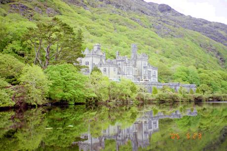
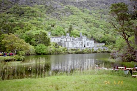
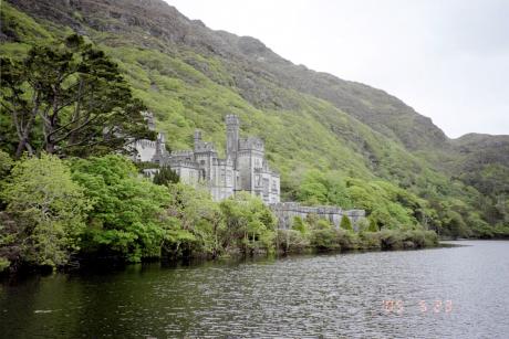
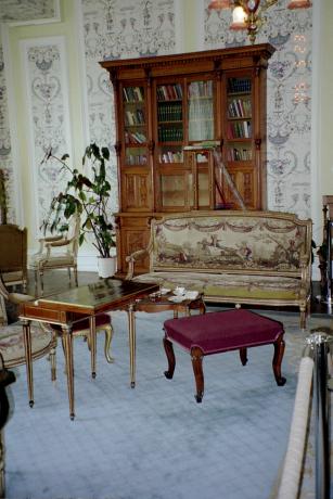
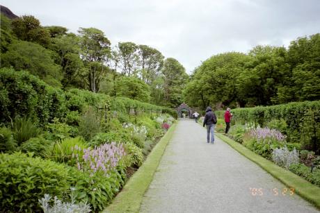
After those places, we stopped at Kylemore Abbey. Kylemore was very pretty, but there were a lot of midges (which are kind of like gnats, or what other people called "no-see-ums") and they liked to bite.. a lot. Here are some pictures around the abbey. There was the abbey building, which was built back in the mid 1800s by some rich guy. The nuns use it as a private school now, so we could only go to about four rooms, but they let us take pictures! There was also the lake the abbey looked out over, some Victorian walled gardens about a mile away which the nuns started to restore about ten years ago, and a Gothic chapel which has also been restored. The Gothic chapel and Victorian gardens are also built by the first owner.


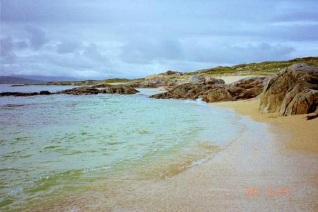
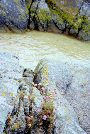
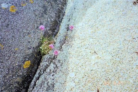
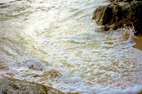
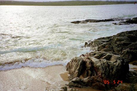
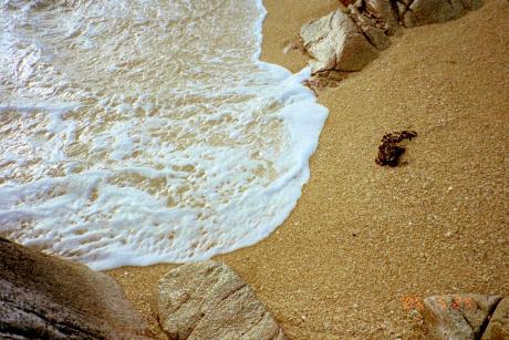
The last stop of the day was in Carraroe. The lady we stayed with told us there was a coral beach at Carraroe, so we made sure to drive down there. I'd never seen a coral beach before. It was really neat! There's no sand there at all. It's all little pieces of coral and shells. Very pretty. I also really liked this leg of the trip because at the time I was reading one of the Nuala Anne McGrail books by Andrew M. Greeley, and this is her home. (Actually, a lot of the places we went in County Galway were in the book I was reading at the time, "Irish Gold," and that made reading it even more fun.)


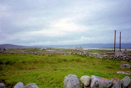
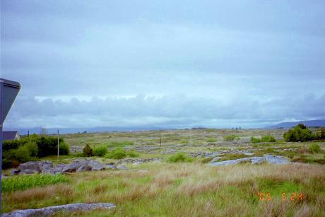
On the other side of Carraroe were a lot of stone fences and abaondoned old stone houses. It looked like a very sad place. I'd say the saddest place we were in Ireland, but that would have to go to a famine graveyard in Donegal Town, which I don't have any pictures off. As a tour guide who mentioned it said, it didn't have a nice feel about it at all.