Configure ArcView for Sri Lanka
In Sri Lankan Grid
- Make sure that you have installed ArcView.
- Start Arview from Start Menu -> (All) Programs -> ESRI-> ArcView 3.2a->Arcview3.2a (If you have a different version you will see some other digit instead of Arcview3.2a)
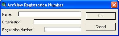
- When you first time starts Arc View requests you to enter the serial no. Once installed correctly you will never be prompted this again.
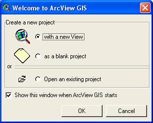
- Arc View welcomes you to the project just click Ok with a new view selected (default).
- Arc View now prompts you to add data. If you have TIF (Tagged Information File) say YES on the hand if dont have any file on TIF say NO (Of course you can also say YES). You can download JPG version of the Sri Lanka altenatively from the download section.
- ArcView can handle raster i.e. image file and verctor i.e. shape file. If it is an image file it also requires a world file so that it can point it to the correct location. For example TIF requires .tifw or .tfw that gives the location to where to put the map similarly JPG reuires .jpgw or .jpw file. Once you have downloaded and extrated the file make sure that the world file is in the same folder or directory as of the image file.
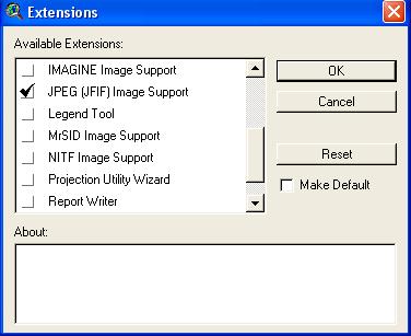
- By default for ArcView expects TIF for the raster i.e. image file. If you would like to test with JPG file you need to File Menu ->Extension->Click JPEG support.
- By default for ArcView expects TIF for the raster i.e. image file. If you would like to test with JPG file you need to File Menu ->Extension->Click JPEG support. Scroll down if you dont see JPEG support. Extension->Click JPEG support. Scroll down if you dont see JPEG support.
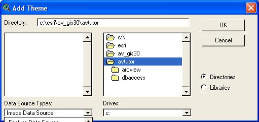
- Now add the file by just clicking plus icon just below the Edit menu. Window will prompt you to add theme. Make sure for raster data i.e. image select Image data source under Data source types and point to where you have put the maps
- Go to view menu and click properties make sure that you have changed the map unites and distance units as meter even if you dont change the rest and click projections
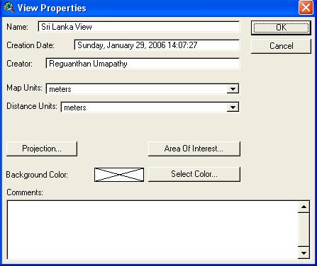
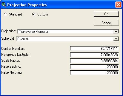
- Make sure that you have setup the projections as given below. Note that there exists a small text file that can speed up your work by simply copy and paste the values of the paramerts with the the JPG version of the Sri Lanka map
- Now tick Slmap.jpg under Sri Lankan view or view1 and now you can see the pojected view of Sri Lanka properly configured