| New Zealand Huts from K to L |
|
Kapakapanui Where: Kapakapanui, Tararua Forest Park Description: NZDA (12) Access: 3 hours from Ngatiawa road end at southern end of the Tararua's. Comments: Owned by Kapiti branch of NZDA. 6 bunks. |
Ketetahi Date: May 1998 Where: Northern end of Mt. Tongariro beside the Ketetahi Hot Springs. Map reference NZMS 260 T19 394-295. Description: DOC (20) Access: About 3 hours from State Highway 47a. Comments: It is at an altitude of 1400 metres and is on the Tongariro Crossing and as such is part of the Great Walks System. |
|
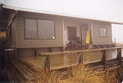
Kime Where: Near Bridge Peak, Tararua Forest Park Description: TTC (35) Access: 5 hours from Otaki Forks, 4-5 hours from Alpha Hut, 4-5 hours from Maungahuka Hut. Comments: The highest hut on the Southern Crossing (1400m). Magnificent views north and south. Handy for Mt. Hector. No stove - can be cold. One mattress. New water tank. Plans are afoot to upgrade it with gas cooking and heating. Also see: Kime on 15 April 1995 |
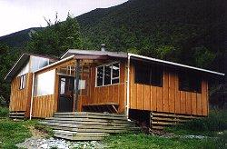
Lakehead Where: Head of Lake Rotoiti, Nelson Lakes National Park Description: DOC (16) Access: 3-4 hours along either lakeshore from St Arnaud, 5 hours down the Travers Valley from John Tait Hut and a steep 5 hours down from Angelus Hut. Comments: Lots of sandflies. Note that access to Coldwater Hut across the valley is either a 2-3 hour tramp via a swingbridge higher up the river or 40 minutes if the Travers River is low. |
|
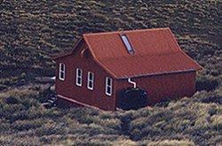
Longview Where: Ruahine State Forest Description: DOC (12) Access: 2 hours from Kashmir road end. Comments: A well appointed hut with great views (if the weather is clear) hence the name. Gas cooking and heating. |
|
|
||||||