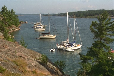
The result of my frustration is the following list of cross-references for several ports and anchorages in the North Channel. I plan to laminate this list and keep it on the chart table. My original list also includes Lat & Lon waypoints near each location. I did not include the waypoints because many of them refer to a point plotted on my charts and would be of little use for others.
The table lists the page numbers for each location as found in Richardsons Lake Huron Chart Book (2nd. edition - I plan on purchasing the most recent edition and will update this list), GLCC Port Pilot and Marjorie Cahn Brazer's "The Well Favored Passage."
| Location | Richardson Pg. | GLCC | Brazer Pg. |
|---|---|---|---|
| Baie Fine | 84 | NC 83 | NC 83 |
| Bear Drop Harbor | 79,80,104 | NC50,51 | 71 |
| Blind River | 78,92,101 | NC59 | 45 |
| Clapperton Harbor | 81,82,99 | NC21,21.1 | NA |
| Clara Isl. | 79,93 | NC56 | 58 |
| Covered Portage Cove | 84 | GB53 | 124 |
| Croker Isl. | 81,82,99 | NC22 | 84 |
| DeTour | 70,71 | H83 | NA |
| Dewdney/John Isl. | 79,80,95 | NC49 | 66 |
| Drummond Isl. | 46,71,70 | NC1 | 25 |
| Fox Isl.-W. Harbor | 98 | NC27,33 | 84 |
| Gore Bay | 80,100 | NC14 | 151 |
| Harbor Island | 46,75,87 | NC2 | 26 |
| Kagawong | 81,100 | NC15 | 148 |
| Killarney | 84,114 | GB52,52.6 | 117 |
| Little Current | 82,106,107 | NC17 | 140 |
| Logan Bay | 81,82,99 | NC21,21.4 | 92 |
| Long Pt. Cove | 94 | NC53 | 61 |
| Meldrum Bay | 47,77,78 | NC10 | 164 |
| N. Benjamin Isl. | 81,98,99 | NC23 | 85 |
| Nobles Isl. | 94,95,108 | NC54.4 | 52 |
| Phantom Rock | 98 | NC22 | NA |
| Pilot Cove | 47 | NC7 | NA |
| S. Benjamin Isl. | 81,99 | NC24 | 87 |
| Search Bay | 10,40 | H80 | NA |
| Snug Harbor | 84 | NC79,79.2 | 116 |
| Sturgeon/Bell Cove | 82 | NC18 | 102 |
| Thessalon | 4,74 | NC63 | 41 |
| Tobermory | 6,64,72 | GB3.0 | NA |
| Turnbull Isl. | 79,93 | NC55 | 58 |