The dam that wasn't built: the first Tekezze dam projectA US engineering company was hired to design a "Hydropower/Irrigation project along the Tekezze-Setit river in Eritrea"In 1995 and 1996, a US-based engineering firm (Harza) conducted feasibility studies on a proposed dam on the Tekeze river. The studies were fairly advanced and included preliminary dam, powerhouse, and irrigation canal designs. An outline of the project can be found at the Harza webpage. The curious thing about this project is that the Tekeze river is described as the "largest river in Eritrea." In fact, Eritrea has no rivers that flow year round. The Tekeze river is one of the major rivers of Ethiopia, and drains the massive Simein mountains in Gonder, as well as most of Tigray and Wello.
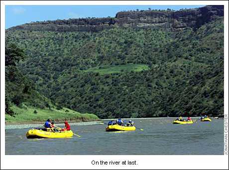
In summary, the proposed dam seems to have been a bad deal for Ethiopia. After seeing how the Ethiopian government saw it fit to transfer over one-billion Birr to Eritrea in 1996-97, we can only breathe a sigh of relief that this dam project never came to fruition. It would have been another scandal to add to the file. In the US this would be called "Eritrea-gate." The private Ethiopian media have been calling attention to these issues for several years now. So far, no one has taken responsibility or been held accountable. Thankfully the originally Tekezze project has been cancelled. In its place, Ethiopia is now proceeding with the design and construction of a Tekeze dam that will truly benefit Ethiopia. The dam will increase Ethiopia's power generation capacity by 30 percent, and probably supply water for irrigating several Finchaa-sized projects in northern Ethiopia. The upper and middle portions of the Tekeze river are clearly a natural treasure to be preserved, and the location of the new Tekeze Dam will probably not affect the section of river traversed by the American expedition in 1996. The Mungo Park expedition ended at the bridge on the Gonder-Axum highway. There is more than 100 km of river length beyond this point which certainly contains suitable dam sites and irrigation possibilities.
| |||

