Ouray Bear Creek

Brick Robbins steps off the Bear Creek Trail
at the level of the Yellowjacket Mine.
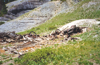
Yellowjacket Mining wreckage.

The Yellowjacket Mine, approximately 4 miles
from the Rte 550 tunnel.

Ouray Bear Creek Trail. The depth is lost in these pictures, but
there was nothing to my left (except air) when I took this picture.

Here I am on the Bear Creek Trail.
The trail is nothing more than a notch in the side of a cliff.

Brick Robbins on the Bear Creek Trail. The rapids are
200 feet below (right behind where his right foot is).