Ouray to Governor Basin

Brick on the Bear Creek Trail overlooking Ouray.
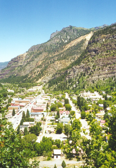
Ouray is the lowest point on the Hardrock course, at about 7,700 feet.

Camp Bird Road, just outside of Ouray.

Camp Bird Road from the Governor Basin trail.

The trail marking crew at the Governor Basin Aid Station.

Governor Basin (Mountain Top Mine). The rock formations
on the ridge are called St. Mary's Spires.

Climbing through Governor Basin. In the background is
Yankee Boy Basin and the Mt. Sneffels Wilderness.