 |
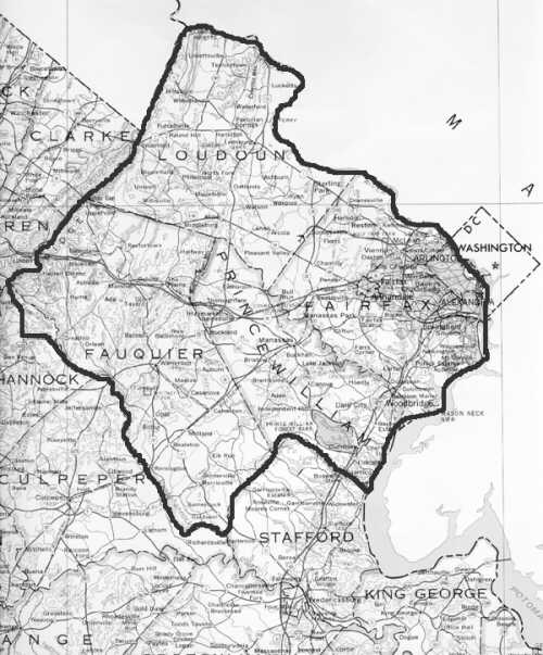
This is a map of the Prince William County, Virginia area in 1731 while it was still a British Colony. Thomas Davis was born in 1693 in Stafford County, VA and died between 1748 to 1749 in Prince William County, Virginia. The counties in Virginia were changing due to growth and replacement of Governors. The boundaries shown here for Prince William changed in later years. Some researchers found that inhabitants of a particular county had trusted their old county governments and when the boundaries changed they did not trust the new county govenment they now fell under. They continued to transact business with their old county of residence for a time after new counties were formed. The following link is to the Ancestor Counties of Prince William County that formed in 1731 on Roots Web |
| Rootsweb history of Prince William County. I can not tell if all or only parts of ancestor counties were included in descendant counties but when counties were first formed they were generaly large and later counties evolved from them reducing their size. |
| Ancestor Counties of Prince William County, VA and Descendant Counties. |
| Chicacoan Indian District | Charles City Co(Original Shire) name changed to | |
| Northumberland Co (1648) | York Co(1642/43) | |
| Westmoreland Co(1653) | Lancaster Co(1651) | |
| Stafford Co(1664) | Rappahanock Co(1656-1692) defunct | |
| King George Co(1721) | Richmond Co(1692) | |
| King George Co(1721) | Prince William Co(1731) | King George Co(1721) |
| Prince William Co(1731) | ||
| Farquier Co(1757) from Pr. William | Prince William Co(1731) | Fairfax Co(1742) from Pr. William |
| Loudoun Co(1759) from Fairfax Co |
 index page.
 to page on James B. Davis
My
 page.
page.  home page.
  You are the
  visitor to my site.