|
|
Bridges
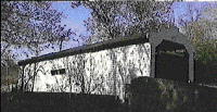
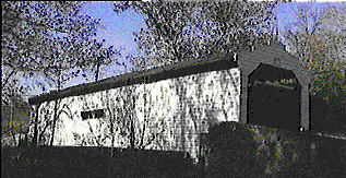
Harmony Hill covered bridge, on trail, south of Downingtown, PA. Photograph courtesy of J. Pyle

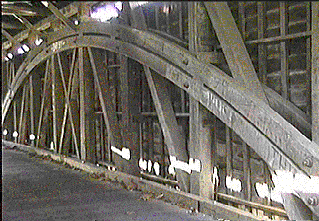
Interior view, Harmony Hill covered bridge, showing trusses. Photograph courtesy of J. Pyle
Rockland, Delaware. Near the southern end of the trail, this bridge was refurbished in 2000? Once part of the end-to-end hike, this bridge is now too far south to be included on the Brandywine Trail.
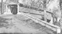
Smith's Bridge, c. 1955. Near the southern end of the trail. Source: Covered Bridges of the Mid-Atlantic States, by Richard Allen.
|
|
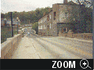
Bridge over East Brandywine Creek, on trail, in Downingtown, PA. Municipal building in background. Courtesy Downingtown, PA.

Allerton Road truss bridge, circa 1920. This one-lane bridge is on the trail. Similar bridges are considered historic in some parts of the nation. West of West Chester, PA.
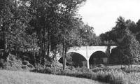
The northbound trail crosses from the east bank to the west bank of the creek on this, the southern-most bridge over The Brandywine in Pennsylvania.
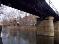
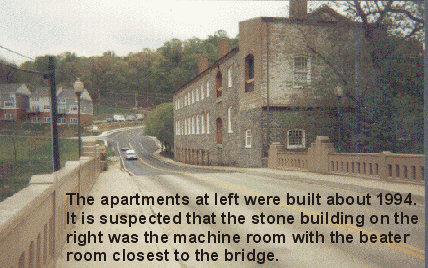
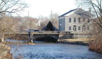
Abandoned railroad bridge over Brandywine Creek in Rockland, Delaware. The annual hike once crossed Brandywine Creek on the highway bridge, which is barely visible in the background. Note the historic mill building, also in background. Used by permission. See Forgotten Delaware, a great web site. Beginning in 2003, the annual hike crosses the Brandywine on Smith Bridge, which is not pictured.
|