
The Climb to Kaiser
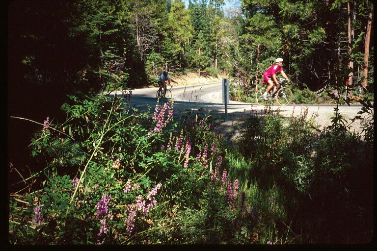

Tollhouse grade starts as soon as you leave the second rest stop. About 8 miles in length, with an average gradient of 7%, and a maximum of 14% (In order to qualify as a "maximum gradient", it must be constant for at least a half mile.)
The road winds up the hill which is standing right in front of you at the rest stop, in a series of five 180º switchbacks. At the forth, it starts to get really steep, and after the 5th, you start one of those 14% stretches.
This push takes you to the top of the ridge. The grade mellows out a bit for a while, until you reach Mountain Rest fire station, where sits one of the designated water stops.
Immediatly following Mountain Rest is the steepest part of this climb. Which in parts is actually more than 14%. The scrub pine gives way to taller trees as you climb to the intersection of Hwy. 168, where you turn right.
But the climbing isn't over.
A little further on is "downtown" Pine Ridge (about 5,000' Elev.). A wide sweeping turn and you're instantly surrounded by tall pine, fir and cedar. the road continues to climb at an average grade of 6-7%. This is known as "Shaver Lake grade".
This road, despite it's smooth paving is actually the most dangerous part of the ride because of the traffic, which is very heavy. It consists of flatlanders, campers pulling trailers, yuckabagoes, and the occasional dreaded flatlander-in-a-yuckabago-pulling-a-trailer.
Fortunatly, thanks in part to annual coverage of the ride by "The Fresno Bee", many of them are aware of it (some are actually aware of you).
The scenery is spectacular up here, and between the passing vehicles you can really enjoy it! Soon you reach the top and the third rest stop at the Church-of-Christ at the edge of Shaver Lake (the town of). It's a hard-to-see left, so members of the Kaiser Krew will be there to flag you down.
The road rolls through the town for a while, then drops in a long downhill to Shaver Lake (the actual lake this time). After a short flat section it drops to the base of the dam and back up to lake level.
Shortly thereafter you turn left onto Huntington Lake Road...

This page hosted by 
Get your own Free Home
Page