
The Climb to Kaiser
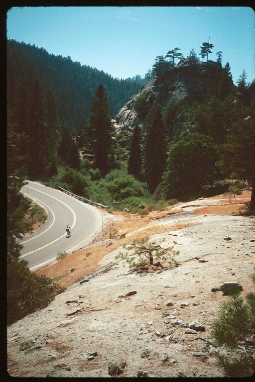

Before you leave Kaiser Pass Rest stop, if you don't have a windbreaker with you, ask one of the Krew for some newspaper. stuff a couple of sheets under the front of your jersey. Believe it or not, it gets quite cold going down this hill.
I don't have to tell you to be careful going back down the top half, do I? You should have figured that one out going up.
As soon as you reach the top end of 168, you can let your brakes cool on that flat section. Don't take your windbreaker (or newspaper) off yet though, one of the best downhills on the ride is coming up.
Highways are built for fast travel. That's why there called "high"-ways. The bottom half of Kaiser Pass Road is a great example. You probably don't even need your brakes for this one. In fact, if you're the adventurous type, you can tuck down for most of it and really fly! My fastest on this stretch is 50 mph.
(O.K. 49.8)
Turn left at the "T" intersection at the bottom. Thus starts the last of the "officially named" hills on the C2K. Tamarack Ridge.
Actually, Tamarack Ridge hill is 4 hills. Each climbing over it's own individual ridge at an average grade of 6-7%. Ranging from 1 - 3 miles in length (each). Enjoy the clean air and scenery while you climb. Like most "modern" highways, the road itself is not exciting.
Incidentaly, those tall straight trees are called (surprise!) tamarack pines. That's where the ridge gets it's name...
The last of the series of climbs brings you to the official top of Tamarack Ridge (7,565'). From here you have an eight mile downhill. No sharp turns and not real fast, even if you tuck down real tight. So just enjoy the free ride to Shaver Lake.
When you pass the turn off to Huntington Lake Road (remember that?), You've reached the bottom of "Tamarack Hill" (Unofficial name...). The road flattens out at the lake just like it did going up, dips down to the bottom of the dam and then climbs up to Shaver Lake the town. "Funny, they didn't tell us about that one..."
The road rolls up and down for a little bit, just like it did this morning, then makes one final climb to the Church-of-Christ. Rest stop #3, remember? Well now it's rest stop #6 (#7, if you count Big Creek). it's easier getting into from this side too.
In case you didn't notice, the sun is in the west now, so you're still in the shade.
This was the top of "Shaver Lake Hill" on the way up. It's still the top, but the hill is a lot more fun in this direction. However, if you're not a good downhiller, you might want to watch your speed on some of the curves.
There is one short climb spoiling this downhill, but it isn't bad. And soon you're back to coasting through the pines.
Remember where you turned right from Tollhouse Grade onto 168? Well you turn right there again. This time onto Auberry Road. As a reminder, it's about a half mile past "downtown" Pine Ridge, about where the road turns into a four lane highway.
There is a short rise at the very beginning, but there are rarely any cars on it, and you can see the hill as you approach. So don't be afraid to use some of the momentum you've built up to run it out.

This page hosted by 
Get your own Free Home
Page