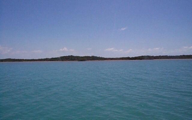
In the photo to the right,
a fish mud looms on the horizon.
Never heard of a fish mud? Neither had I. Our guide book says (though I'm not completely convinced) that a school of fish will gather, and while spawning, fan their tails near the bottom. This causes great clouds of sand and mud to become waterbourne. At a distance, and in fact, even fairly close up, this creates a false impression of a sandbar or shallow area in the water. We sailed around the first couple we saw. But they can be big -- a mile in length or more. Eventually we sailed closer and closer, and then finally, right on through.
This is Mangrove Cay. A deserted island in the middle of the Little Bahama Bank. It's 12 feet deep for miles around, so you could anchor anywhere. However it somehow seems better to anchor next to something and this little island is the only thing within several hours of sailing.
So we pick a likely spot and drop the hook.
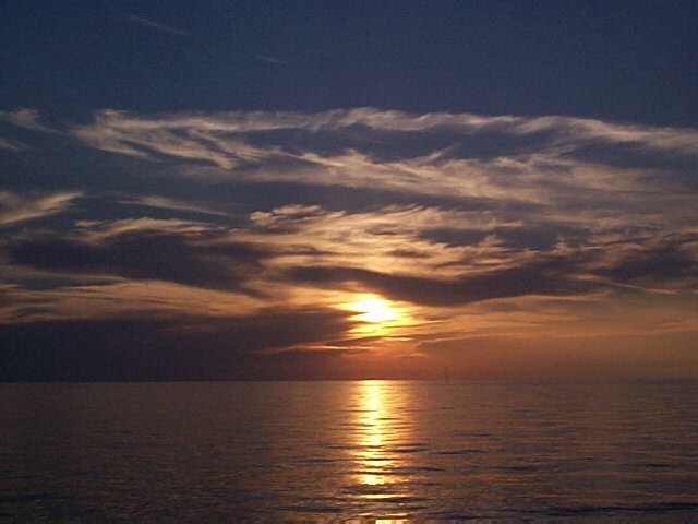
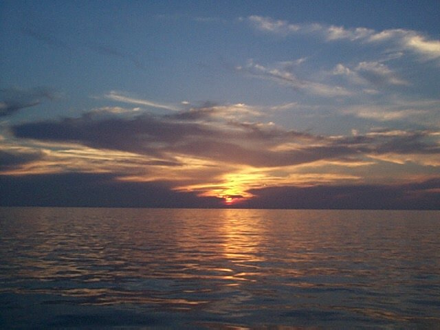
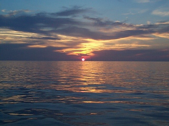
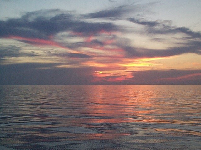
One of the great things about sailing is being in a great position to watch the sun go down -- every evening. Below are several takes on a single sunset.
GregH