


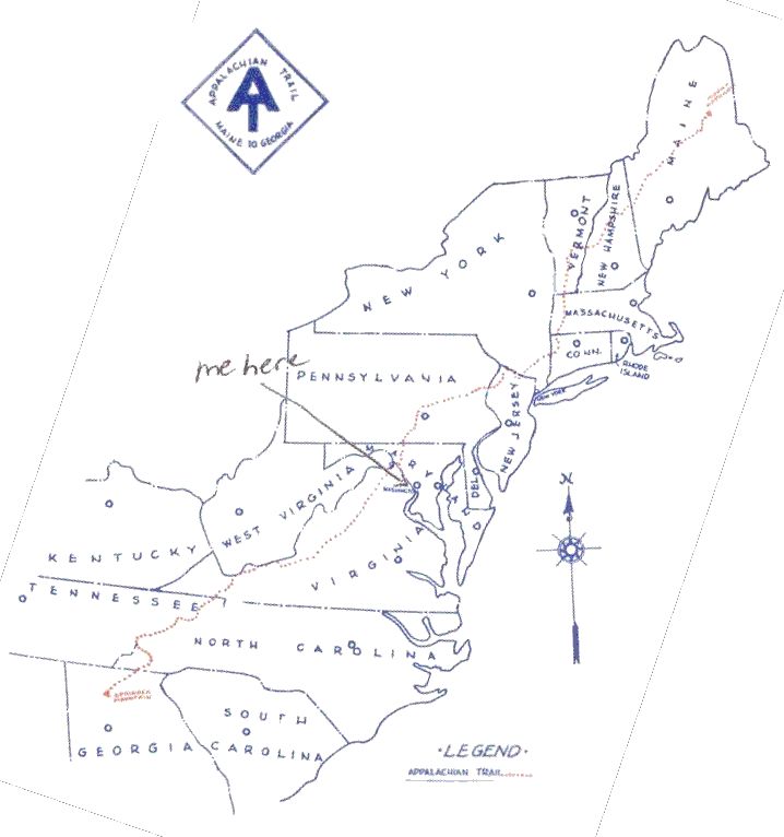
Map courtesy of National Park Service/US Dept. of the Interior
Samwise Hikes the Appalachian Trail ! |
||||||
| Home | | Updates | | Map | | Journal | | Photos | | Resources | | FAQ |
The AT covers over 2100 miles from Springer Mt., GA to Mt. Katahdin, ME.
The cumulative elevation gain is the equivalent of hiking from sea level to the top of Mt. Everest sixteen times!"Samwise" will be hiking northbound, as most thru-hikers do.
click here to jump to the bottom of this map.
click here to view a slightly smaller map.
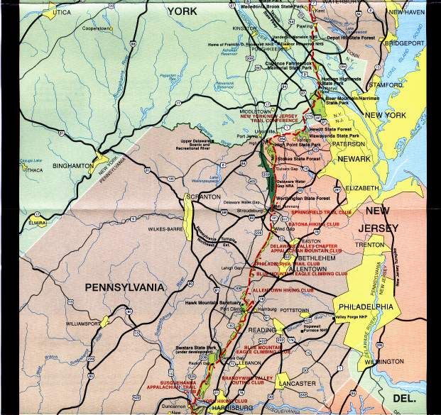
Map courtesy of National Park Service/US Dept. of the Interior