|
Historic photos |
When the Lone Gum Area had been cleared in
1914, the next step was the costruction of the down channels. This work
called for a large body of men, who were chiefley accomadated at a camp
situated on the dry land above Block 301, and east and west of it. As extra land was needed for soldier settlement, the channels were extended across the Renamrk-morgan road, and the new area, surveyed by July 1920, was called Monash. |
|
 |
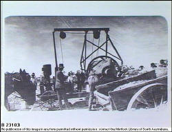
Monash 1920 Construction of a main water channel using lime concrete and limestone rubble. |
|
 |
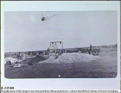
Monash 1920 Construction of a main channel - R. Mc Creamer's dry block |
|
 |
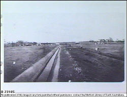
Monash 1920 Newly completed main irrigation channel |
|
 |
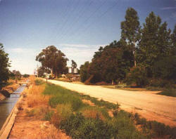
Monash c1970's Main irrigation channel, Distillery road. |
|