![]()
![]()
![]()
![]()
![]()
![]()
![]()
![]()
![]()
![]()
![]()
![]()
![]()
![]()
![]()
![]()
![]()
![]()
|
|
|
|
Prairie Mountain - Bragg Creek Elbow Falls Area
A nice view from Highway 22/66 near Bragg Creek
A closer view of Prairie Mountain
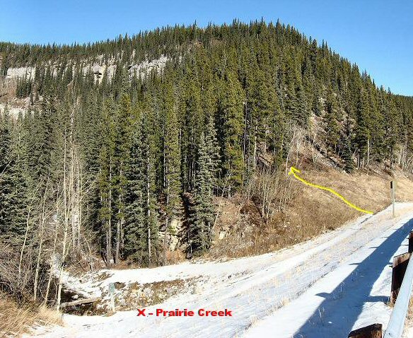
Trailhead is just past the road closure barrier on highway 66 but before Prairie Creek
Take the trail up the hill not the one along Prairie Creek
H'mm there is a small cairn for the start of the trail provided somebody doesn't stumble over it and it gets demolished
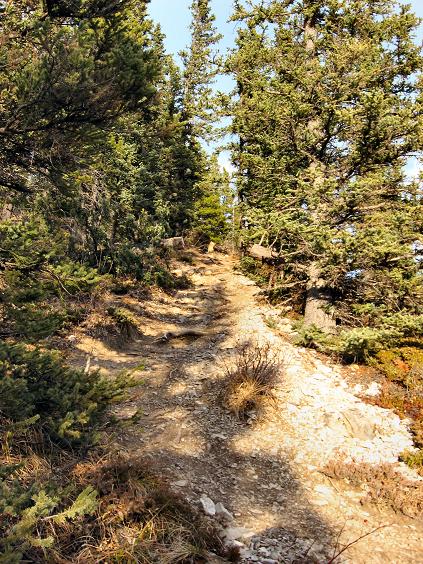
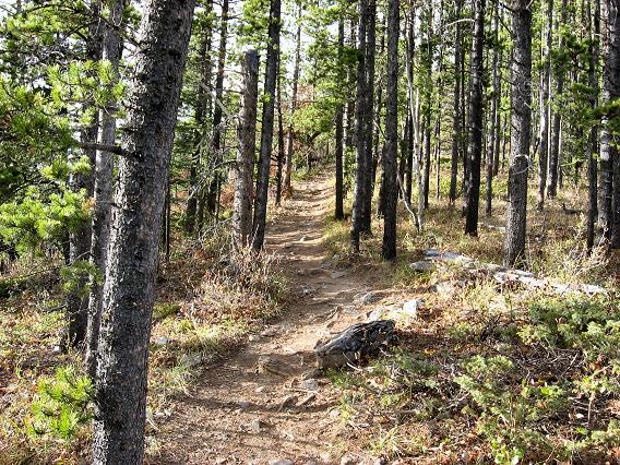
A look at the steep trail at the start
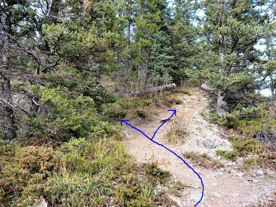
Both forks take you to the main ridge trail but the left fork is less steep
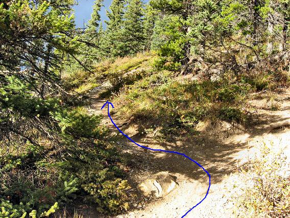
The left fork and a more gradual trail to the main ridge trail
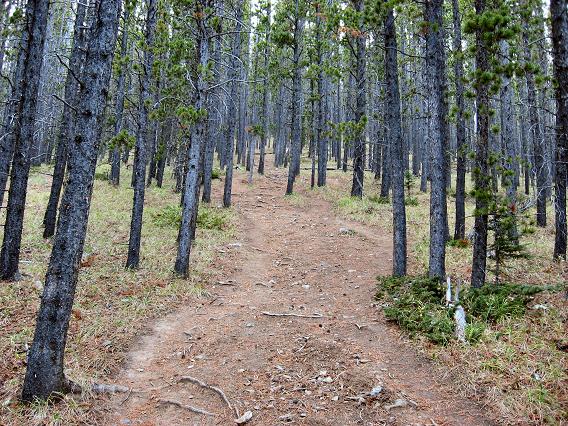
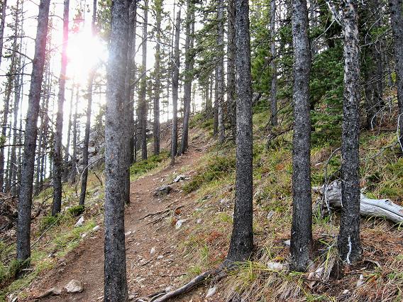
Terrain on the main ridge trail
More trail terrain
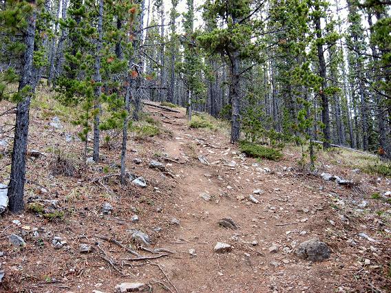
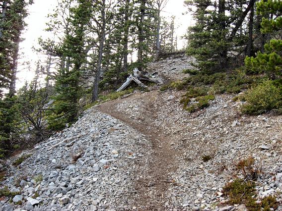
Trail as it starts to get steeper
And more steeper
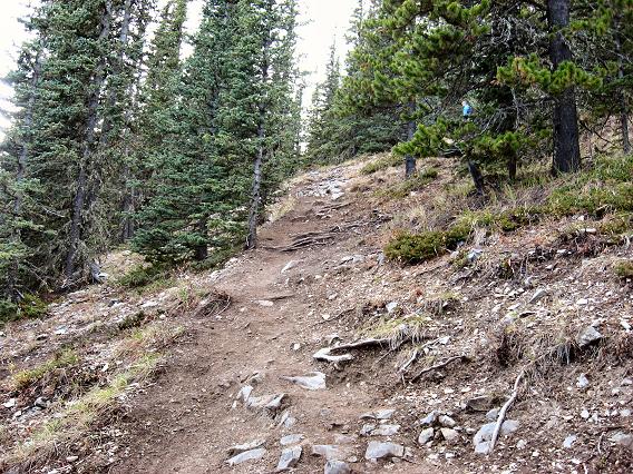
Steep up to the first view point, one more steep section after this to tree line
The knarly tree spot a few minutes after the first viewpoint
The second even steeper section to tree line
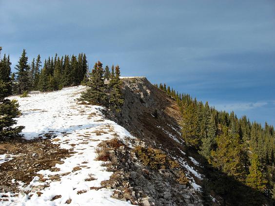
At last tree line is in sight
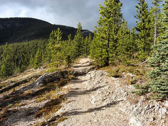
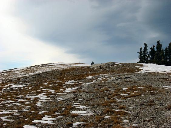
Finally above tree line, it's an easy stroll now
More of the ridge above tree line
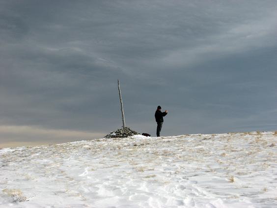
Almost there see the summit pole?
A bit windy but an agreeable day
A stark juxtaposition?
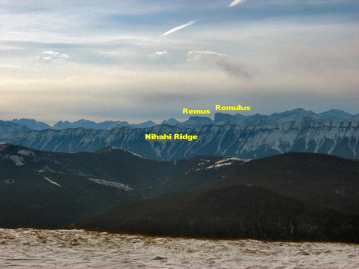
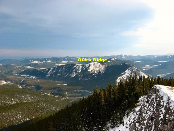
Views to the South West
Views to the West
Views to the North West
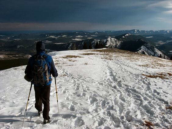
Heading back down
Quirk Ridge to the South Prairie Mountain Scramble: Class 1 – Steep Hiking Altitude: 2,210 m (7,251 ft) Ascent Time: 1 ˝ to 2 hours Elevation Gain: approx. 716 m (2,350 ft) 3 km one way 6 km return Best Season to Scramble: Early Spring to Late Fall, Possible Winter Ascent if snow pack low and not too windy, Road closed from December 1 to May 14th but not a problem as the trailhead is only 100 yards down the road from closure. Highlights This is a great early season conditioner. Trail has some fairly steep sections but views come quick and are great. Most people probably wouldn’t mind doing this one again for the effort and great views. I know I will. Getting There Head out to Bragg Creek and onto highway 66 towards Elbow Falls. Around 19 km down highway 66 you will see the winter road closure gate for highway 66. Many park on the side of the road just past this gate. Just 100 yards ahead is the trailhead right beside the guardrail for the bridge over Prairie Creek. Some park farther back with a left hand turn into the "Elbow Falls Recreational Area" parking lot. Route Description The trailhead is right at the start of the guardrail for the bridge over Prairie Creek. Should be a cairned trail leading steeply up the bank provided no one has kicked down the cairn. Don’t go down to the creek and take the trail along Prairie Creek. Once on the correct trail it’s steep for a while, levels off a bit, then steep again, then the last stretch towards tree line is very steep for a few hundred feet. Once above tree line the steepness becomes much less and you just follow the open grassy ridge to the summit hump.
|